NASA
Jet Propulsion Laboratory
California Institute of Technology
Skip Navigation
Ocean Surface Topography from Space
Stay Connected
menu
close modal
Resources
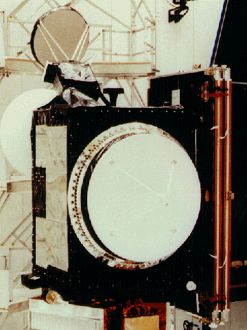
TOPEX/Poseidon LRA
Published:
September 13, 2010
TOPEX/Poseidon LRA
ENLARGE
Related
The Antonov cargo aircraft carrying the Sentinel-6 Michael Freilich satellite touches down on the runway at Vandenberg Air Force Base in California on Sept. 24, 2020.
Sentinel-6 Spacecraft Arrival/Offload
TOPEX/Poseidon launch
TOPEX/Poseidon launch
High Resolution Jason-1 launch images
High Resolution Jason-1 launch images
Jason-1 readies for launch in its bay at Vandenberg, AFB (10/31/01)
Jason-1 readies for launch in its bay at Vandenberg, AFB (10/31/01)
TOPEX/Poseidon Line Drawing
TOPEX/Poseidon Line Drawing
Launching aboard the joint U.S.-European Sentinel-6 Michael Freilich satellite is NASA’s next instrument that will help improve weather forecasting.
Using GPS to Improve Weather Forecasts
Jason-1: First Image
Jason-1: First Image
Launch preparations are progressing! (11/21/01) Photos: Stacy Mitchell of John Hopkins APL/TIMED project
Launch preparations are progressing! (11/21/01) Photos: Stacy Mitchell of John Hopkins APL/TIMED project
This artist's concept show Jason-3 over France.
Jason-3 over France
Ocean Dynamic Topography
Ocean Dynamic Topography
These photos were taken during the Payload Attach Fitting (PAF) mating operation with Jason-1. (11/14/01) Photos: Scott Michel
These photos were taken during the Payload Attach Fitting (PAF) mating operation with Jason-1. (11/14/01) Photos: Scott Michel
OSTM/Jason-2 Artist's Concept
OSTM/Jason-2 Artist's Concept
Early morning at the launch pad
Early morning at the launch pad
Sea Level
Sea Level
In this illustration, the Sentinel-6 Michael Freilich spacecraft - the world's latest sea-level satellite - orbits Earth with its deployable solar panels extended.
Sentinel-6 Michael Freilich Satellite Orbits Earth (Illustration)
OSTM/Jason-2 Radiometer Antenna
OSTM/Jason-2 Radiometer Antenna
Ariane 42P launch vehicle
Ariane 42P launch vehicle
These photos were taken during the Dual Payload Attach Fitting (DPAF) mating operation with Jason-1. (11/13/01) Photos: Scott Michel
These photos were taken during the Dual Payload Attach Fitting (DPAF) mating operation with Jason-1. (11/13/01) Photos: Scott Michel
Jason-1 atop the Delta II Photo: Tom Shain
Jason-1 atop the Delta II Photo: Tom Shain
OSTM/Jason-2 Spacecraft
OSTM/Jason-2 Spacecraft
OSTM/Jason-2 Line Drawing
OSTM/Jason-2 Line Drawing
t - 12 minutes
t - 12 minutes
Radiometer Install - Jan. 2007
Radiometer Install - Jan. 2007
OSTM/Jason-2 Radiometer Antenna
OSTM/Jason-2 Radiometer Antenna
Jason-1 Launch - Artists Concept
Jason-1 Launch - Artists Concept