NASA
Jet Propulsion Laboratory
California Institute of Technology
Skip Navigation
Ocean Surface Topography from Space
Stay Connected
menu
close modal
Resources
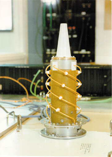
Jason-1 DORIS
Published:
September 13, 2010
Jason-1 DORIS
ENLARGE
Related
Launch preparations are progressing! (11/21/01) Photos: Stacy Mitchell of John Hopkins APL/TIMED project
Launch preparations are progressing! (11/21/01) Photos: Stacy Mitchell of John Hopkins APL/TIMED project
The SpaceX Falcon 9 rocket carrying the Sentinel-6 Michael Freilich spacecraft lifts off from Space Launch Complex 4 at Vandenberg Air Force Base in California, Nov. 21, 2020, at 9:17 a.m. PST
Sentinel-6 Launch
TOPEX/Poseidon GPS
TOPEX/Poseidon GPS
Jason-1 readies for launch in its bay at Vandenberg, AFB (10/31/01)
Jason-1 readies for launch in its bay at Vandenberg, AFB (10/31/01)
OSTM/Jason-2 Line Drawing
OSTM/Jason-2 Line Drawing
Jason-3
Jason-3
Water Vapor
Water Vapor
Jason-1 launch images
Jason-1 launch images
SpaceX Falcon 9 rocket, topped with the Sentinel-6 Michael Freilich satellite secured inside its payload fairing, is rolled to Space Launch Complex 4
Sentinel-6 Rollout at SLC-4, VAFB
Ariane 42P launch vehicle
Ariane 42P launch vehicle
The Antonov cargo aircraft carrying the Sentinel-6 Michael Freilich satellite touches down on the runway at Vandenberg Air Force Base in California on Sept. 24, 2020.
Sentinel-6 Spacecraft Arrival/Offload
These photos were taken during the Payload Attach Fitting (PAF) mating operation with Jason-1. (11/14/01) Photos: Scott Michel
These photos were taken during the Payload Attach Fitting (PAF) mating operation with Jason-1. (11/14/01) Photos: Scott Michel
TOPEX/Poseidon launch
TOPEX/Poseidon launch
Jason-1 Launch Configuration
Jason-1 Launch Configuration
SpaceX Falcon 9 rocket with the Sentinel-6 Michael Freilich satellite is lifted to vertical at Space Launch Complex 4
Sentinel-6 on pad at SLC-4, VAFB
Applications of Spaceborne Altimetry
Applications of Spaceborne Altimetry
Spacecraft processing
Sentinel-6 Michael Freilich spacecraft processing
SpaceX Falcon 9 Rocket
SpaceX Falcon 9 Rocket
Jason-1 TRSR
Jason-1 TRSR
Radiometer Installation Team - April 2007
Radiometer Installation Team - April 2007
This artist's concept show Jason-3 over France.
Jason-3 over France
Altimeter Applications - JPL Open House '99
Altimeter Applications - JPL Open House '99
The Falcon 9 protective payload fairing containing the Sentinel-6 Michael Freilich satellite
Payload fairing containing the Sentinel-6 Michael Freilich satellite
Jason-1: TRSR instrument
Jason-1: TRSR instrument
Jason-1 readies for launch in its bay at Vandenberg, AFB (10/31/01)
Jason-1 readies for launch in its bay at Vandenberg, AFB (10/31/01)