NASA
Jet Propulsion Laboratory
California Institute of Technology
Skip Navigation
Ocean Surface Topography from Space
Stay Connected
menu
close modal
Resources
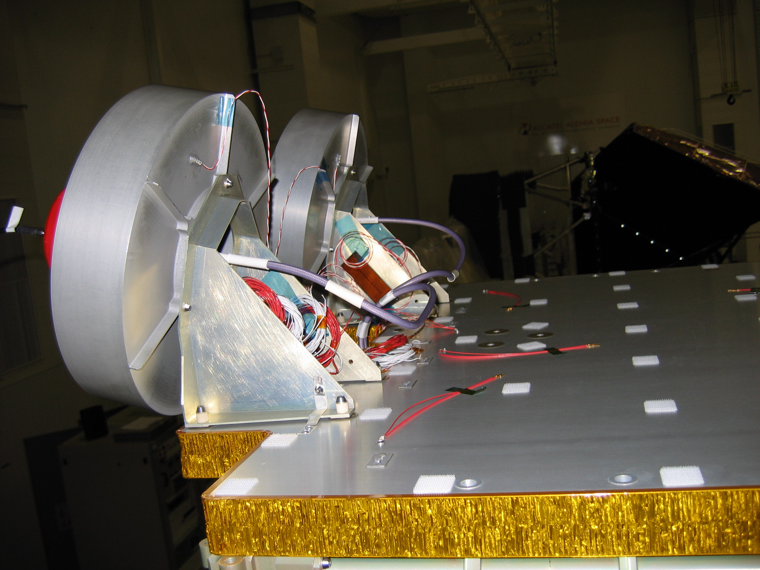
OSTM/Jason-2 GPSP
Published:
September 13, 2010
OSTM/Jason-2 GPSP
ENLARGE
Related
Whale Census and Habitat
Whale Census and Habitat
Ocean Dynamic Topography
Ocean Dynamic Topography
Wind Speed
Wind Speed
Launching aboard the joint U.S.-European Sentinel-6 Michael Freilich satellite is NASA’s next instrument that will help improve weather forecasting.
Using GPS to Improve Weather Forecasts
High Resolution Jason-1 launch images
High Resolution Jason-1 launch images
Jason-3
Jason-3
Jason-1 readies for launch in its bay at Vandenberg, AFB (10/31/01)
Jason-1 readies for launch in its bay at Vandenberg, AFB (10/31/01)
The Sentinel-6 Michael Freilich satellite sits in front of a testing chamber where mission team members tested whether the spacecraft could endure the loud sounds it will encounter during launch.
Testing of Sentintel-6 Michael Freilich satellite
Ionospheric Total Electron Content
Ionospheric Total Electron Content
Jason-1 launch images
Jason-1 launch images
These photos were taken during the Payload Attach Fitting (PAF) mating operation with Jason-1. (11/14/01) Photos: Scott Michel
These photos were taken during the Payload Attach Fitting (PAF) mating operation with Jason-1. (11/14/01) Photos: Scott Michel
SpaceX Falcon 9 rocket, topped with the Sentinel-6 Michael Freilich satellite secured inside its payload fairing, is rolled to Space Launch Complex 4
Sentinel-6 Rollout at SLC-4, VAFB
Launch preparations are progressing! (11/21/01) Photos: Stacy Mitchell of John Hopkins APL/TIMED project
Launch preparations are progressing! (11/21/01) Photos: Stacy Mitchell of John Hopkins APL/TIMED project
Altimeter Applications - JPL Open House '99
Altimeter Applications - JPL Open House '99
Launch preparations are progressing! (11/21/01) Photos: Stacy Mitchell of John Hopkins APL/TIMED project
Launch preparations are progressing! (11/21/01) Photos: Stacy Mitchell of John Hopkins APL/TIMED project
These photos were taken during the Dual Payload Attach Fitting (DPAF) mating operation with Jason-1. (11/13/01) Photos: Scott Michel
These photos were taken during the Dual Payload Attach Fitting (DPAF) mating operation with Jason-1. (11/13/01) Photos: Scott Michel
The SpaceX Falcon 9 with the Sentinel-6 Michael Freilich satellite is lifted to vertical at Space Launch Complex 4
Sentinel-6 on pad at SLC-4, VAFB
Sea Level
Sea Level
OSTM/Jason-2 DORIS
OSTM/Jason-2 DORIS
Water Vapor
Water Vapor
Jason-1: JMR instrument
Jason-1: JMR instrument
TOPEX/Poseidon DORIS
TOPEX/Poseidon DORIS
Jason-1 atop the Delta II Photo: Tom Shain
Jason-1 atop the Delta II Photo: Tom Shain
Jason-1 LRA
Jason-1 LRA
OSTM/Jason-2 Radiometer Antenna
OSTM/Jason-2 Radiometer Antenna