NASA
Jet Propulsion Laboratory
California Institute of Technology
Skip Navigation
Ocean Surface Topography from Space
Stay Connected
menu
close modal
Resources
Jason-3
Published:
January 15, 2016
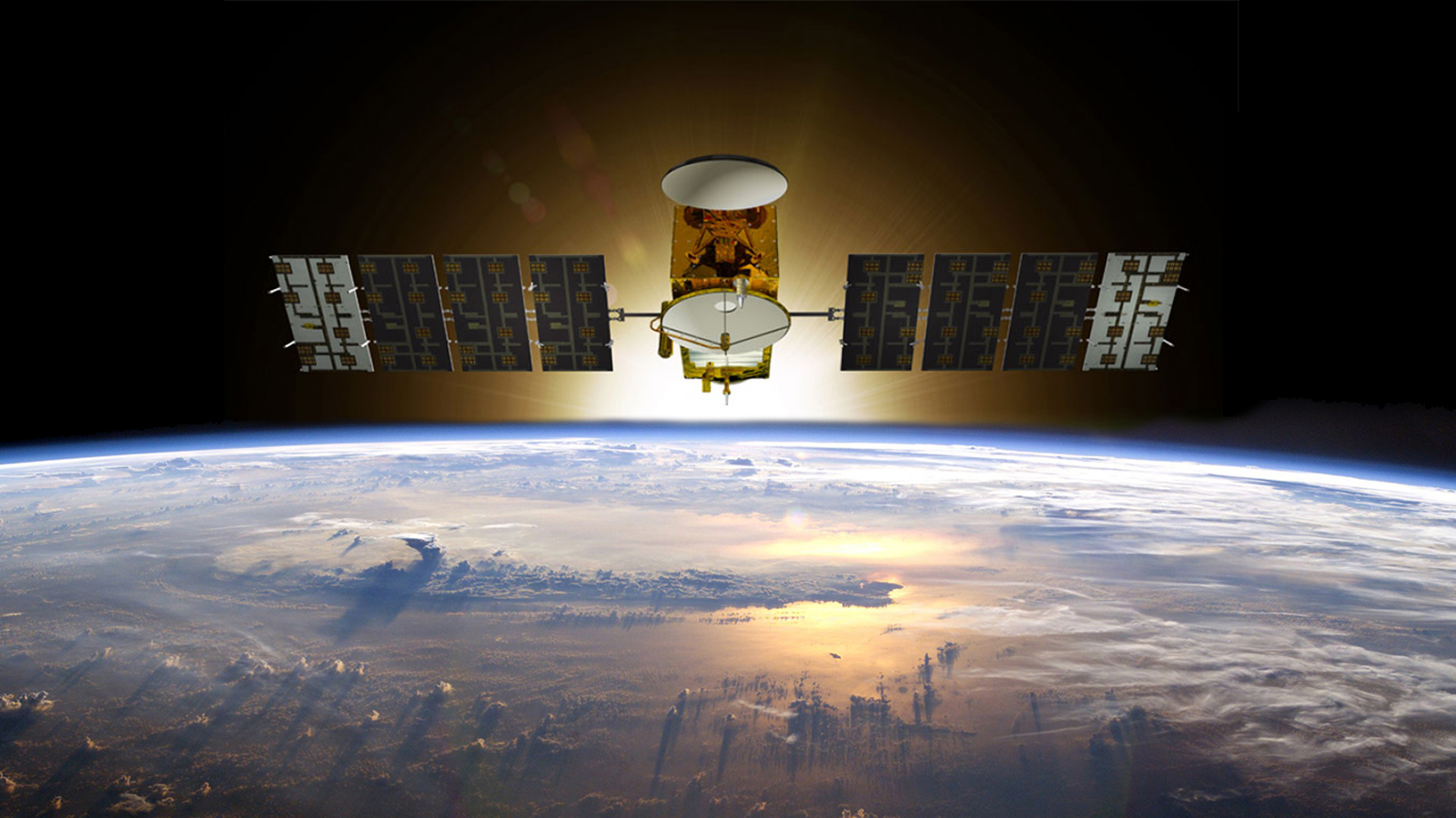
Artist's concept of Jason-3.
ENLARGE
Related
Jason-1 readies for launch in its bay at Vandenberg, AFB (10/31/01)
Jason-1 readies for launch in its bay at Vandenberg, AFB (10/31/01)
Sentinel-6 Michael Freilich will join a long-standing family of Earth observing satellites from NASA and European partners.
Sentinel-6 Michael Freilich Satellite Family Tree
Mission team members perform acoustic tests of the Sentinel-6 Michael Freilich satellite in a chamber outfitted with giant speakers that blast the spacecraft with sound. This is to ensure that the ...
Testing of Sentinel-6 Michael Freilich satellite
OSTM/Jason-2 Radiometer Antenna
OSTM/Jason-2 Radiometer Antenna
This artist's concept show Jason-3 over France.
Jason-3 over France
Jason-1 atop the Delta II Photo: Tom Shain
Jason-1 atop the Delta II Photo: Tom Shain
Jason-1 Lithograph
Jason-1 Lithograph
TOPEX/Poseidon LRA
TOPEX/Poseidon LRA
The ocean-observing Sentinel-6 Michael Freilich satellite launched from Vandenberg Air Force Base in California aboard a SpaceX Falcon 9 rocket on Nov. 21, 2020 at 12:17 p.m. EST
NASA and SpaceX Launch U.S.-European Mission to Monitor World's Ocean (Recap)
Whale Census and Habitat
Whale Census and Habitat
Poseidon-3 Altimeter
Poseidon-3 Altimeter
Launch preparations are progressing! (11/21/01) Photos: Stacy Mitchell of John Hopkins APL/TIMED project
Launch preparations are progressing! (11/21/01) Photos: Stacy Mitchell of John Hopkins APL/TIMED project
OSTM/Jason-2 Artist's Concept
OSTM/Jason-2 Artist's Concept
These photos were taken during the Payload Attach Fitting (PAF) mating operation with Jason-1. (11/14/01) Photos: Scott Michel
These photos were taken during the Payload Attach Fitting (PAF) mating operation with Jason-1. (11/14/01) Photos: Scott Michel
Jason-1 Launch - Artists Concept
Jason-1 Launch - Artists Concept
Early morning at the launch pad
Early morning at the launch pad
Oceans' Role in Climate - Jason-1
Oceans' Role in Climate - Jason-1
A key ocean observation satellite has been named after Earth scientist Michael Freilich
Ocean Satellite Renamed for Noted Scientist
Altimeter Mission Series
Altimeter Mission Series
Recorded live broadcast of Sentinel-6B, launched at 9:21 p.m. PST, Sunday, Nov. 16 (12:21 a.m. EST, Monday, Nov. 17) aboard a SpaceX Falcon 9 rocket from Vandenberg Space Force Base in California.
Relive the Launch: Sentinel-6B
High Resolution Jason-1 launch images
High Resolution Jason-1 launch images
t - 7 minutes - Photo: Tom Shain
t - 7 minutes - Photo: Tom Shain
Mike Davis in front of the faring
Mike Davis in front of the faring
Radiometer Install - April 2007
Radiometer Install - April 2007
Applications of Spaceborne Altimetry
Applications of Spaceborne Altimetry