NASA
Jet Propulsion Laboratory
California Institute of Technology
Skip Navigation
Ocean Surface Topography from Space
Stay Connected
menu
close modal
Resources
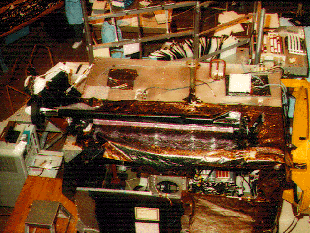
TOPEX/Poseidon GPS
Published:
September 13, 2010
TOPEX/Poseidon GPS
ENLARGE
Related
TOPEX/Poseidon Artist's Concept
TOPEX/Poseidon Artist's Concept
Jason-1 launch images
Jason-1 launch images
High Resolution Jason-1 launch images
High Resolution Jason-1 launch images
TOPEX/Poseidon Line Drawing
TOPEX/Poseidon Line Drawing
Poseidon-3 Altimeter
Poseidon-3 Altimeter
Jason-3 Ready for Launch
Jason-3 Ready for Launch
Whale Census and Habitat
Whale Census and Habitat
Jason-1: LRA instrument
Jason-1: LRA instrument
Jason-1 Launch Configuration
Jason-1 Launch Configuration
OSTM/Jason-2 Radiometer Antenna
OSTM/Jason-2 Radiometer Antenna
High Resolution Jason-1 launch images
High Resolution Jason-1 launch images
The SpaceX Falcon 9 rocket carrying the Sentinel-6 Michael Freilich spacecraft lifts off from Space Launch Complex 4 at Vandenberg Air Force Base in California, Nov. 21, 2020, at 9:17 a.m. PST
Sentinel-6 Launch
OSTM/Jason-2 GPSP
OSTM/Jason-2 GPSP
OSTM/Jason-2 Radiometer Antenna
OSTM/Jason-2 Radiometer Antenna
Jason-1 launch images
Jason-1 launch images
High Resolution Jason-1 launch images
High Resolution Jason-1 launch images
Altimeter Applications - JPL Open House '99
Altimeter Applications - JPL Open House '99
This artist's concept shows Jason-3 over the California coast.
Jason-3 over California
Jason-1 DORIS
Jason-1 DORIS
The SpaceX Falcon 9 with the Sentinel-6 Michael Freilich satellite is lifted to vertical at Space Launch Complex 4
Sentinel-6 on pad at SLC-4, VAFB
Ionospheric Total Electron Content
Ionospheric Total Electron Content
Launch preparations are progressing! (11/21/01) Photos: Stacy Mitchell of John Hopkins APL/TIMED project
Launch preparations are progressing! (11/21/01) Photos: Stacy Mitchell of John Hopkins APL/TIMED project
TOPEX/Poseidon DORIS
TOPEX/Poseidon DORIS
Jason-1: First Image
Jason-1: First Image
Mission team members perform acoustic tests of the Sentinel-6 Michael Freilich satellite in a chamber outfitted with giant speakers that blast the spacecraft with sound. This is to ensure that the ...
Testing of Sentinel-6 Michael Freilich satellite