NASA
Jet Propulsion Laboratory
California Institute of Technology
Skip Navigation
Ocean Surface Topography from Space
Stay Connected
menu
close modal
Resources
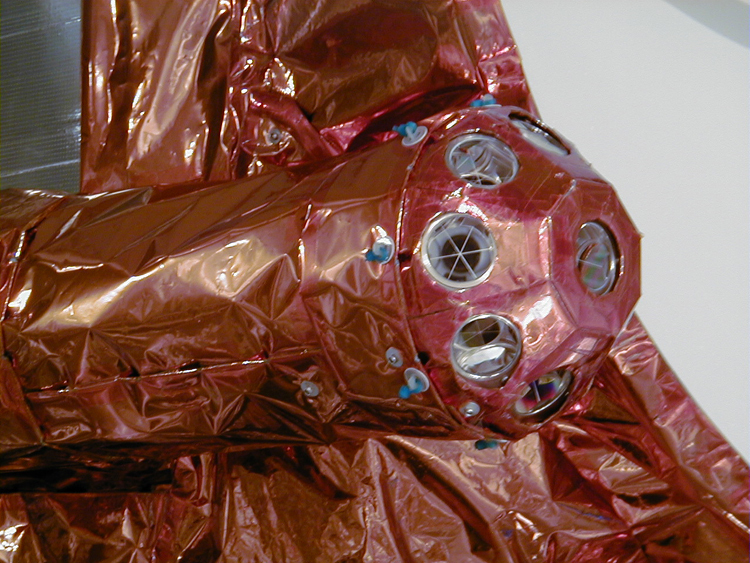
Jason-1: LRA instrument
Published:
September 13, 2010
Jason-1: LRA instrument
ENLARGE
Related
Jason-1 readies for launch in its bay at Vandenberg, AFB (10/31/01)
Jason-1 readies for launch in its bay at Vandenberg, AFB (10/31/01)
TOPEX/Poseidon Radiometer
TOPEX/Poseidon Radiometer
Jason-1 Artists Concept
Jason-1 Artists Concept
Jason-1 Line Drawing
Jason-1 Line Drawing
TOPEX/Poseidon Ground Tracks
TOPEX/Poseidon Ground Tracks
High Resolution Jason-1 launch images
High Resolution Jason-1 launch images
Sea Surface Height
Sea Surface Height
Wind Speed
Wind Speed
Sentinel-6 Michael Freilich will join a long-standing family of Earth observing satellites from NASA and European partners.
Sentinel-6 Michael Freilich Satellite Family Tree
This is an artist's concept of the Sentinel-6 Michael Freilich spacecraft.
Artist's concept of Sentinel-6 Michael Freilich
Jason-1 Poster
Jason-1 Poster
SpaceX Falcon 9 Rocket
SpaceX Falcon 9 Rocket
These photos were taken during the Payload Attach Fitting (PAF) mating operation with Jason-1. (11/14/01) Photos: Scott Michel
These photos were taken during the Payload Attach Fitting (PAF) mating operation with Jason-1. (11/14/01) Photos: Scott Michel
OSTM/Jason-2 Radiometer Antenna
OSTM/Jason-2 Radiometer Antenna
Jason-1 TRSR
Jason-1 TRSR
Radiometer Install - April 2007
Radiometer Install - April 2007
SpaceX Falcon 9 rocket with the Sentinel-6 Michael Freilich satellite is lifted to vertical at Space Launch Complex 4
Sentinel-6 on pad at SLC-4, VAFB
t - 10 minutes
t - 10 minutes
Jason-1 Altimeter
Jason-1 Altimeter
Jason-3 Satellite Prepared For Launch
Jason-3 Satellite Prepared For Launch
Jason-1 Launch Configuration
Jason-1 Launch Configuration
TOPEX/Poseidon Mission to Planet Earth
TOPEX/Poseidon Mission to Planet Earth
Radiometer Install - Jan. 2007
Radiometer Install - Jan. 2007
The joint U.S.-European Sentinel-6 Michael Freilich is the next in a line of Earth-observing satellites that will collect the most accurate data yet on sea level and how it changes over time. With ...
New U.S.-European Satellite Tracking Sea Level Rise
QuickTime VR of TOPEX/Poseidon
QuickTime VR of TOPEX/Poseidon