NASA
Jet Propulsion Laboratory
California Institute of Technology
Skip Navigation
Ocean Surface Topography from Space
Stay Connected
menu
close modal
Resources
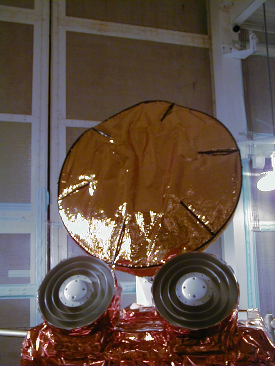
Jason-1: TRSR instrument
Published:
September 13, 2010
Jason-1: TRSR instrument
ENLARGE
Related
TOPEX/Poseidon Altimeter
TOPEX/Poseidon Altimeter
Jason-3 Ready for Launch
Jason-3 Ready for Launch
Launch preparations are progressing! (11/21/01) Photos: Stacy Mitchell of John Hopkins APL/TIMED project
Launch preparations are progressing! (11/21/01) Photos: Stacy Mitchell of John Hopkins APL/TIMED project
The Antonov cargo aircraft carrying the Sentinel-6 Michael Freilich satellite touches down on the runway at Vandenberg Air Force Base in California on Sept. 24, 2020.
Sentinel-6 Spacecraft Arrival/Offload
These photos were taken during the Dual Payload Attach Fitting (DPAF) mating operation with Jason-1. (11/13/01) Photos: Scott Michel
These photos were taken during the Dual Payload Attach Fitting (DPAF) mating operation with Jason-1. (11/13/01) Photos: Scott Michel
Radiometer Rework - April 2007
Radiometer Rework - April 2007
The SpaceX Falcon 9 with the Sentinel-6 Michael Freilich satellite is lifted to vertical at Space Launch Complex 4
Sentinel-6 on pad at SLC-4, VAFB
TOPEX/Poseidon over Earth
TOPEX/Poseidon over Earth
The SpaceX Falcon 9 rocket carrying the Sentinel-6 Michael Freilich spacecraft lifts off from Space Launch Complex 4 at Vandenberg Air Force Base in California, Nov. 21, 2020, at 9:17 a.m. PST
Sentinel-6 Launch
Jason-1: JMR instrument
Jason-1: JMR instrument
Jason-1 launch images
Jason-1 launch images
Jason-1 readies for launch in its bay at Vandenberg, AFB (10/31/01)
Jason-1 readies for launch in its bay at Vandenberg, AFB (10/31/01)
Launch preparations are progressing! (11/21/01) Photos: Stacy Mitchell of John Hopkins APL/TIMED project
Launch preparations are progressing! (11/21/01) Photos: Stacy Mitchell of John Hopkins APL/TIMED project
Experts from NASA, ESA, EUMETSAT, and NOAA discuss the upcoming launch of Sentinel-6 Michael Freilich in a recorded live broadcast
News Update on Launch of the Sea Level-Monitoring Satellite, Sentinel-6 Michael Freilich
Jason-1 launch images
Jason-1 launch images
Headed for Orbit!
Headed for Orbit!
SpaceX Falcon 9 Rocket
SpaceX Falcon 9 Rocket
Jason-1 Radiometer
Jason-1 Radiometer
Jason-3 3D Model
Jason-3 3D Model
Inside half of the Delta Clam shell faring
Inside half of the Delta Clam shell faring
Jason-1 Launch Configuration
Jason-1 Launch Configuration
Altimeter Applications - JPL Open House '99
Altimeter Applications - JPL Open House '99
Whale Census and Habitat
Whale Census and Habitat
The SpaceX Falcon 9 rocket carrying the Sentinel-6 Michael Freilich spacecraft lifts off from Space Launch Complex 4 at Vandenberg Air Force Base in California, Nov. 21, 2020, at 9:17 a.m. PST
Sentinel-6 Launch
OSTM/Jason-2 GPSP
OSTM/Jason-2 GPSP