NASA
Jet Propulsion Laboratory
California Institute of Technology
Skip Navigation
Ocean Surface Topography from Space
Stay Connected
menu
close modal
Resources
Jason-3
Published:
January 15, 2016
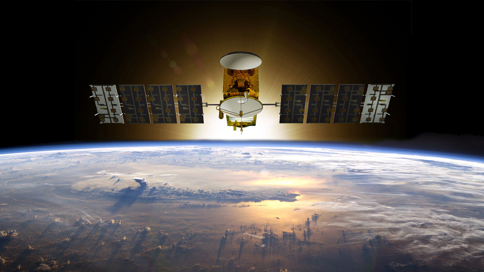
Artist's concept of Jason-3.
ENLARGE
Related
This artist's concept show Jason-3 over the Amazon.
Jason-3 over the Amazon
OSTM/Jason-2 Radiometer Antenna
OSTM/Jason-2 Radiometer Antenna
Jason-1 Lithograph
Jason-1 Lithograph
A key ocean observation satellite has been named after Earth scientist Michael Freilich
Ocean Satellite Renamed for Noted Scientist
Variability of Ocean Dynamic Topography
Variability of Ocean Dynamic Topography
Wave Height
Wave Height
The SpaceX Falcon 9 rocket carrying the Sentinel-6 Michael Freilich spacecraft lifts off from Space Launch Complex 4 at Vandenberg Air Force Base in California, Nov. 21, 2020, at 9:17 a.m. PST
Sentinel-6 Launch
Jason-1 Radiometer
Jason-1 Radiometer
SpaceX Falcon 9 rocket, topped with the Sentinel-6 Michael Freilich satellite secured inside its payload fairing, is rolled to Space Launch Complex 4
Sentinel-6 Rollout at SLC-4, VAFB
High Resolution Jason-1 launch images
High Resolution Jason-1 launch images
Jason-1: TRSR instrument
Jason-1: TRSR instrument
Sentinel-6 Michael Freilich will join a long-standing family of Earth observing satellites from NASA and European partners.
Sentinel-6 Michael Freilich Satellite Family Tree
Our planet is changing. Our ocean is rising. And it affects us all. That’s why a new international satellite will continue the decades-long watch over our global ocean and help us better understand...
Behind the Spacecraft – Sentinel-6 Michael Freilich
Mission team members perform acoustic tests of the Sentinel-6 Michael Freilich satellite in a chamber outfitted with giant speakers that blast the spacecraft with sound. This is to ensure that the ...
Testing of Sentinel-6 Michael Freilich satellite
Headed for Orbit!
Headed for Orbit!
TOPEX/Poseidon Artist's Concept
TOPEX/Poseidon Artist's Concept
Launch preparations are progressing! (11/21/01) Photos: Stacy Mitchell of John Hopkins APL/TIMED project
Launch preparations are progressing! (11/21/01) Photos: Stacy Mitchell of John Hopkins APL/TIMED project
NASA and its U.S. and international partners have teamed up to launch a new Earth-observing satellite called Sentinel-6B that will measure sea surface height of most of the planet’s ocean. These ob...
Sentinel-6B: Extending the Legacy
For NASA scientist Severine Fournier, studying our planet knows no borders.
"Science is International" Says French Sea Level Rise NASA Scientist
Oceans' Role in Climate - Jason-1
Oceans' Role in Climate - Jason-1
OSTM/Jason-2 GPSP
OSTM/Jason-2 GPSP
The Falcon 9 protective payload fairing containing the Sentinel-6 Michael Freilich satellite
Payload fairing containing the Sentinel-6 Michael Freilich satellite
Jason-3 Ready for Launch
Jason-3 Ready for Launch
These photos were taken during the Payload Attach Fitting (PAF) mating operation with Jason-1. (11/14/01) Photos: Scott Michel
These photos were taken during the Payload Attach Fitting (PAF) mating operation with Jason-1. (11/14/01) Photos: Scott Michel
OSTM/Jason-2 Radiometer Antenna
OSTM/Jason-2 Radiometer Antenna