NASA
Jet Propulsion Laboratory
California Institute of Technology
Skip Navigation
Ocean Surface Topography from Space
Stay Connected
menu
close modal
Resources
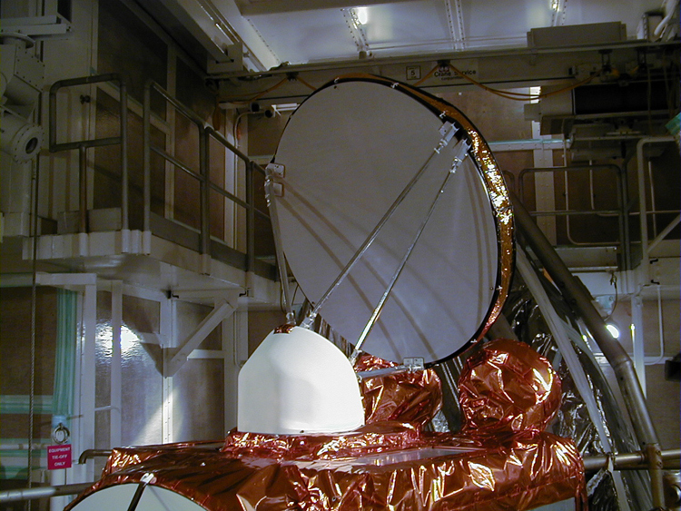
Jason-1: JMR instrument
Published:
September 13, 2010
Jason-1: JMR instrument
ENLARGE
Related
TOPEX/Poseidon Altimeter
TOPEX/Poseidon Altimeter
Spacecraft processing
Sentinel-6 Michael Freilich spacecraft processing
Jason-3
Jason-3
OSTM/Jason-2 Line Drawing
OSTM/Jason-2 Line Drawing
Our planet is changing. Our ocean is rising. And it affects us all. That’s why a new international satellite will continue the decades-long watch over our global ocean and help us better understand...
Behind the Spacecraft – Sentinel-6 Michael Freilich
Early morning at the launch pad
Early morning at the launch pad
TOPEX/Poseidon Ground Tracks
TOPEX/Poseidon Ground Tracks
Jason-1 atop the Delta II Photo: Tom Shain
Jason-1 atop the Delta II Photo: Tom Shain
The SpaceX Falcon 9 rocket carrying the Sentinel-6 Michael Freilich spacecraft lifts off from Space Launch Complex 4 at Vandenberg Air Force Base in California, Nov. 21, 2020, at 9:17 a.m. PST
Sentinel-6 Launch
The Antonov cargo aircraft carrying the Sentinel-6 Michael Freilich satellite touches down on the runway at Vandenberg Air Force Base in California on Sept. 24, 2020.
Sentinel-6 Spacecraft Arrival/Offload
These photos were taken during the Dual Payload Attach Fitting (DPAF) mating operation with Jason-1. (11/13/01) Photos: Scott Michel
These photos were taken during the Dual Payload Attach Fitting (DPAF) mating operation with Jason-1. (11/13/01) Photos: Scott Michel
Jason-1 readies for launch in its bay at Vandenberg, AFB (10/31/01)
Jason-1 readies for launch in its bay at Vandenberg, AFB (10/31/01)
TOPEX/Poseidon GPS
TOPEX/Poseidon GPS
The Antonov cargo aircraft carrying the Sentinel-6 Michael Freilich satellite touches down on the runway at Vandenberg Air Force Base in California on Sept. 24, 2020.
Sentinel-6 Spacecraft Arrival/Offload
Recorded live launch broadcast of Sentinel-6 Michael Freilich
Watch the Launch of the Ocean-Observing Sentinel-6 Michael Freilich Satellite
Launch preparations are progressing! (11/21/01) Photos: Stacy Mitchell of John Hopkins APL/TIMED project
Launch preparations are progressing! (11/21/01) Photos: Stacy Mitchell of John Hopkins APL/TIMED project
Jason-1 in full flight configuration
Jason-1 in full flight configuration
Jason-1 LRA
Jason-1 LRA
Jason-1 Poster
Jason-1 Poster
Bringing Satellite Data Down to Earth
Bringing Satellite Data Down to Earth
Jason-1 Altimeter
Jason-1 Altimeter
Jason-1 Radiometer
Jason-1 Radiometer
TOPEX/Poseidon Launch
TOPEX/Poseidon Launch
The Sentinel-6 Michael Freilich satellite sits in front of a testing chamber where mission team members tested whether the spacecraft could endure the loud sounds it will encounter during launch.
Testing of Sentintel-6 Michael Freilich satellite
TOPEX/Poseidon over Earth
TOPEX/Poseidon over Earth