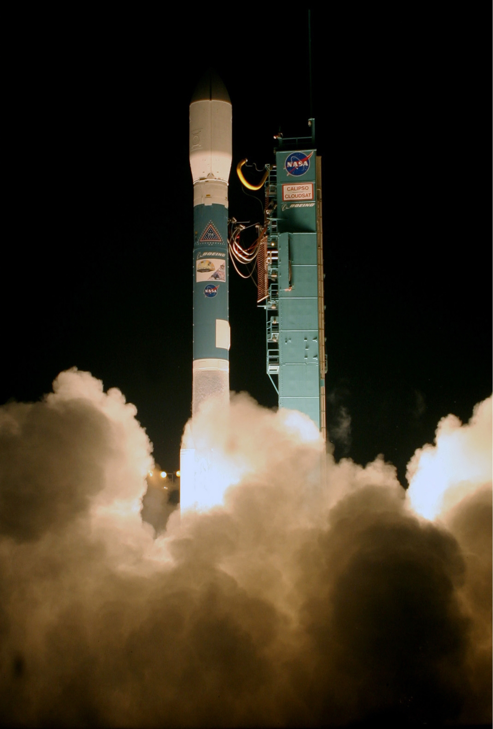
NASA
Jet Propulsion Laboratory California Institute of Technology
Skip Navigation
Ocean Surface Topography from Space
Stay Connected
menu close modal

Resources

TOPEX/Poseidon launch

TOPEX/Poseidon launch,
Published: August 10, 2000

TOPEX/Poseidon launch, August 10, 1992.

ENLARGE

Downloads

TOPEX/Poseidon launch
1.94 MB
image/jpeg
Download

More Like This

  • Images
  • Spacecraft

Related

Jason-3 Satellite Prepared For Launch
More
Jason-3 Satellite Prepared For Launch
High Resolution Jason-1 launch images
More
High Resolution Jason-1 launch images
Jason-3 Ready for Launch
More
Jason-3 Ready for Launch
The Sentinel-6 Michael Freilich satellite sits in front of a testing chamber where mission team members tested whether the spacecraft could endure the loud sounds it will encounter during launch.
More
Testing of Sentintel-6 Michael Freilich satellite
The ocean-observing Sentinel-6 Michael Freilich satellite launched from Vandenberg Air Force Base in California aboard a SpaceX Falcon 9 rocket on Nov. 21, 2020 at 12:17 p.m. EST
More
Recap video of Sentinel-6 Micahel Freilich launch
NASA and SpaceX Launch U.S.-European Mission to Monitor World's Ocean (Recap)
t - 12 minutes
More
t - 12 minutes
t - 12 minutes
The SpaceX Falcon 9 rocket, topped with the Sentinel-6 Michael Freilich satellite secured inside its payload fairing, is rolled to Space Launch Complex 4
More
Falcon 9 rolled to pad
Sentinel-6 Rollout at SLC-4, VAFB
Jason-1 LRA
More
Jason-1 LRA
Jason-1 LRA
Sentinel-6 Michael Freilich will join a long-standing family of Earth observing satellites from NASA and European partners.
More
Sentinel-6 Michael Freilich will join a long-standing family of Earth observing satellites from NASA and European partners.
Sentinel-6 Michael Freilich Satellite Family Tree
OSTM/Jason-2 Artist's Concept
More
OSTM/Jason-2 Artist's Concept
Ocean Dynamic Topography
More
Ocean Dynamic Topography
Jason-1 launch images
More
Jason-1 launch images
Jason-1 Altimeter
More
Jason-1 Altimeter
Jason-1 Altimeter
SpaceX Falcon 9 rocket with the Sentinel-6 Michael Freilich satellite is lifted to vertical at Space Launch Complex 4
More
Falcon 9 vertical on pad
Sentinel-6 on pad at SLC-4, VAFB
OSTM/Jason-2 Radiometer Antenna
More
OSTM/Jason-2 Radiometer Antenna
Jason-1: TRSR instrument
More
Jason-1: TRSR instrument
Jason-1 Poster
More
Jason-1 Poster
Jason-1 Poster
The Antonov cargo aircraft carrying the Sentinel-6 Michael Freilich satellite touches down on the runway at Vandenberg Air Force Base in California on Sept. 24, 2020. 
More
A photo of the banner on the side of Sentinel-6 Michael Freilich's container.
Sentinel-6 Spacecraft Arrival/Offload
These photos were taken during the Payload Attach Fitting (PAF) mating operation with Jason-1. (11/14/01) Photos: Scott Michel
More
These photos were taken during the Payload Attach Fitting (PAF) mating operation with Jason-1. (11/14/01) Photos: Scott Michel
High Resolution Jason-1 launch images
More
High Resolution Jason-1 launch images
Radiometer Install - Jan. 2007
More
Radiometer Install - Jan. 2007
Our planet is changing. Our ocean is rising. And it affects us all. That’s why a new international satellite will continue the decades-long watch over our global ocean and help us better understand...
More
Our planet is changing. Our ocean is rising. And it affects us all. That’s why a new international satellite will continue the decades-long watch over our global ocean and help us better understand how climate change is reshaping our planet.
Behind the Spacecraft – Sentinel-6 Michael Freilich
The joint U.S.-European Sentinel-6 Michael Freilich is the next in a line of Earth-observing satellites that will collect the most accurate data yet on sea level and how it changes over time. With ...
More
A video overview of the Sentinel-6 mission.
New U.S.-European Satellite Tracking Sea Level Rise
Inside half of the Delta Clam shell faring
More
Inside half of the Delta Clam shell faring
Variability of Ocean Dynamic Topography
More
Variability of Ocean Dynamic Topography
more resources

Get the Newsletter

Follow JPL

Home

Ocean Observation

    • Why Study the Ocean?
    • Understanding Climate
    • Ocean Surface Topography

Science

    • Goals & Objectives
    • Publications
    • Scientific Investigations
    • Science Team Meetings

Applications

    • Overview
    • Water Cycle
    • Operational
    • Coastal
    • Biological
    • Climate
    • Hazards

Data

    • Get Data
    • Along-Track Near Real-Time Data
    • El Niño/La Niña Watch & PDO
    • Vital Signs

Missions

    • Overview
    • Technology
    • Jason-CS (Sentinel 6)
    • Jason-3
    • OSTM/Jason-2
    • Jason-1
    • TOPEX/Poseidon

News

Resources

  • NASA
  • |
  • CALTECH
  • |
  • Privacy
  • |
  • Image Policy
  • |
  • Feedback
  • |
  • Accessibility

Site Manager: Kalina Velev