NASA
Jet Propulsion Laboratory
California Institute of Technology
Skip Navigation
Ocean Surface Topography from Space
Stay Connected
menu
close modal
Resources
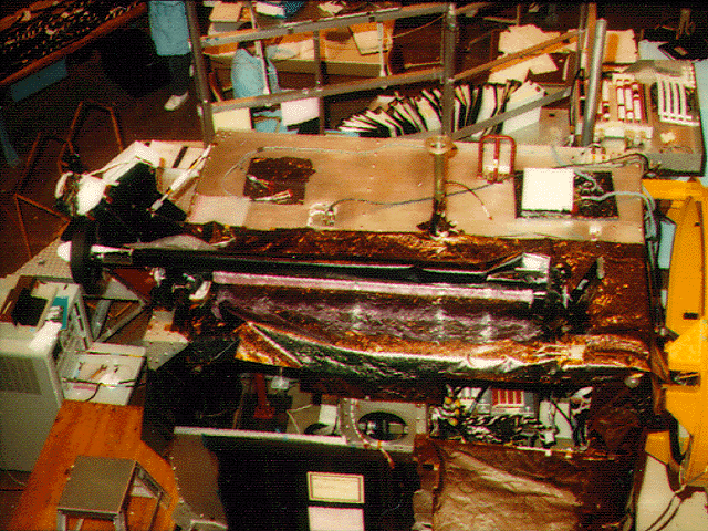
TOPEX/Poseidon GPS
Published:
September 13, 2010
TOPEX/Poseidon GPS
ENLARGE
Related
High Resolution Jason-1 launch images
High Resolution Jason-1 launch images
The Antonov cargo aircraft carrying the Sentinel-6 Michael Freilich satellite touches down on the runway at Vandenberg Air Force Base in California on Sept. 24, 2020.
Sentinel-6 Spacecraft Arrival/Offload
Jason-1 Altimeter
Jason-1 Altimeter
This is an artist's concept of the Sentinel-6 Michael Freilich spacecraft.
Artist's concept of Sentinel-6 Michael Freilich
Jason-3 on the Launch Pad
Jason-3 on the Launch Pad
OSTM/Jason-2 Artist's Concept
OSTM/Jason-2 Artist's Concept
Jason-1 in full flight configuration
Jason-1 in full flight configuration
OSTM/Jason-2 Radiometer Antenna
OSTM/Jason-2 Radiometer Antenna
Altimeter Applications - JPL Open House '99
Altimeter Applications - JPL Open House '99
Ocean Dynamic Topography
Ocean Dynamic Topography
TOPEX/Poseidon Mission to Planet Earth
TOPEX/Poseidon Mission to Planet Earth
Sea Surface Height
Sea Surface Height
The SpaceX Falcon 9 with the Sentinel-6 Michael Freilich satellite is lifted to vertical at Space Launch Complex 4
Sentinel-6 on pad at SLC-4, VAFB
OSTM/Jason-2 GPSP
OSTM/Jason-2 GPSP
Jason-1: TRSR instrument
Jason-1: TRSR instrument
Radiometer Install - Jan. 2007
Radiometer Install - Jan. 2007
These photos were taken during the Payload Attach Fitting (PAF) mating operation with Jason-1. (11/14/01) Photos: Scott Michel
These photos were taken during the Payload Attach Fitting (PAF) mating operation with Jason-1. (11/14/01) Photos: Scott Michel
Inside half of the Delta Clam shell faring
Inside half of the Delta Clam shell faring
Jason-1 readies for launch in its bay at Vandenberg, AFB (10/31/01)
Jason-1 readies for launch in its bay at Vandenberg, AFB (10/31/01)
These photos were taken during the Dual Payload Attach Fitting (DPAF) mating operation with Jason-1. (11/13/01) Photos: Scott Michel
These photos were taken during the Dual Payload Attach Fitting (DPAF) mating operation with Jason-1. (11/13/01) Photos: Scott Michel
Radiometer Installation Team - April 2007
Radiometer Installation Team - April 2007
This illustration shows the Sentinel-6 Michael Freilich spacecraft in orbit above Earth with its deployable solar panels extended.
Sentinel-6 Michael Freilich Artist's Rendering
Ariane 42P launch vehicle
Ariane 42P launch vehicle
The Sentinel-6 Michael Freilich satellite sits in front of a testing chamber where mission team members tested whether the spacecraft could endure the loud sounds it will encounter during launch.
Testing of Sentintel-6 Michael Freilich satellite
SpaceX Falcon 9 Rocket
SpaceX Falcon 9 Rocket