NASA
Jet Propulsion Laboratory
California Institute of Technology
Skip Navigation
Ocean Surface Topography from Space
Stay Connected
menu
close modal
Resources
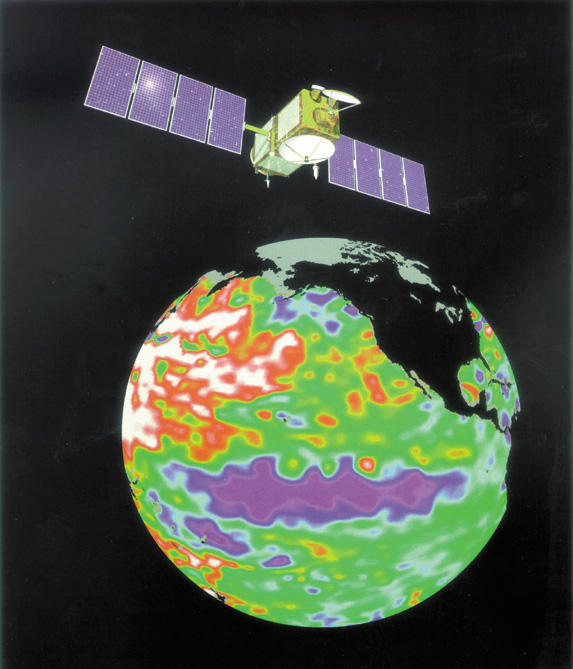
Jason-1 Lithograph
Published:
September 13, 2010
Jason-1 Lithograph
ENLARGE
Related
Launch preparations are progressing! (11/21/01) Photos: Stacy Mitchell of John Hopkins APL/TIMED project
Launch preparations are progressing! (11/21/01) Photos: Stacy Mitchell of John Hopkins APL/TIMED project
Recorded live launch broadcast of Sentinel-6 Michael Freilich
Watch the Launch of the Ocean-Observing Sentinel-6 Michael Freilich Satellite
The SpaceX Falcon 9 rocket carrying the Sentinel-6 Michael Freilich spacecraft lifts off from Space Launch Complex 4 at Vandenberg Air Force Base in California, Nov. 21, 2020, at 9:17 a.m. PST
Sentinel-6 Launch
TOPEX/Poseidon Collecting Data
TOPEX/Poseidon Collecting Data
This is an artist's concept of the Sentinel-6 Michael Freilich spacecraft.
Artist's concept of Sentinel-6 Michael Freilich
Altimeter Mission Series
Altimeter Mission Series
Jason-1 readies for launch in its bay at Vandenberg, AFB (10/31/01)
Jason-1 readies for launch in its bay at Vandenberg, AFB (10/31/01)
The Sentinel-6 Michael Freilich satellite sits in front of a testing chamber where mission team members tested whether the spacecraft could endure the loud sounds it will encounter during launch.
Testing of Sentintel-6 Michael Freilich satellite
TOPEX/Poseidon Altimeter
TOPEX/Poseidon Altimeter
Launch preparations are progressing! (11/21/01) Photos: Stacy Mitchell of John Hopkins APL/TIMED project
Launch preparations are progressing! (11/21/01) Photos: Stacy Mitchell of John Hopkins APL/TIMED project
Jason-3 Animation
Jason-3 Animation
Jason-1 readies for launch in its bay at Vandenberg, AFB (10/31/01)
Jason-1 readies for launch in its bay at Vandenberg, AFB (10/31/01)
Jason-1: First Image
Jason-1: First Image
t - 12 minutes
t - 12 minutes
Radiometer Rework - April 2007
Radiometer Rework - April 2007
Jason-1 on top of the DPAF
Jason-1 on top of the DPAF
TOPEX/Poseidon Ground Tracks
TOPEX/Poseidon Ground Tracks
Jason-3 Satellite Prepared For Launch
Jason-3 Satellite Prepared For Launch
Altimeter Applications - JPL Open House '99
Altimeter Applications - JPL Open House '99
Jason-3 Launch
Jason-3 Launch
TOPEX/Poseidon launch
TOPEX/Poseidon launch
OSTM/Jason-2 GPSP
OSTM/Jason-2 GPSP
Watch the Jason-3 Science Briefing from Friday, Jan 15, 2016 - panelists discussed the science and research of the Jason-3 mission.
The Science of Jason-3
These photos were taken during the Payload Attach Fitting (PAF) mating operation with Jason-1. (11/14/01) Photos: Scott Michel
These photos were taken during the Payload Attach Fitting (PAF) mating operation with Jason-1. (11/14/01) Photos: Scott Michel
TOPEX/Poseidon Mission to Planet Earth
TOPEX/Poseidon Mission to Planet Earth