NASA
Jet Propulsion Laboratory
California Institute of Technology
Skip Navigation
Ocean Surface Topography from Space
Stay Connected
menu
close modal
Resources
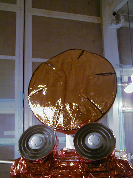
Jason-1: TRSR instrument
Published:
September 13, 2010
Jason-1: TRSR instrument
ENLARGE
Related
Experts from NASA, ESA, EUMETSAT, and NOAA discuss the upcoming launch of Sentinel-6 Michael Freilich in a recorded live broadcast
News Update on Launch of the Sea Level-Monitoring Satellite, Sentinel-6 Michael Freilich
TOPEX/Poseidon LRA
TOPEX/Poseidon LRA
For NASA JPL engineer Parag Vaze, studying Earth’s rising ocean has been a career three decades in the making.
NASA Engineer Observes Sea Level Rise from Space for 30 Years
Jason-1 readies for launch in its bay at Vandenberg, AFB (10/31/01)
Jason-1 readies for launch in its bay at Vandenberg, AFB (10/31/01)
Launch preparations are progressing! (11/21/01) Photos: Stacy Mitchell of John Hopkins APL/TIMED project
Launch preparations are progressing! (11/21/01) Photos: Stacy Mitchell of John Hopkins APL/TIMED project
TOPEX/Poseidon Collecting Data
TOPEX/Poseidon Collecting Data
High Resolution Jason-1 launch images
High Resolution Jason-1 launch images
Wind Speed
Wind Speed
Altimeter Applications - JPL Open House '99
Altimeter Applications - JPL Open House '99
Water Vapor
Water Vapor
This illustration shows the Sentinel-6 Michael Freilich spacecraft in orbit above Earth with its deployable solar panels extended.
Sentinel-6 Michael Freilich Artist's Rendering
Jason-3 Launch
Jason-3 Launch
Ariane 42P launch vehicle
Ariane 42P launch vehicle
Jason-3 Lifts Off!
Jason-3 Lifts Off!
Jason-1 Line Drawing
Jason-1 Line Drawing
TOPEX/Poseidon Poster (no text)
TOPEX/Poseidon Poster (no text)
Jason-1 TRSR
Jason-1 TRSR
Recorded live launch broadcast of Sentinel-6 Michael Freilich
Watch the Launch of the Ocean-Observing Sentinel-6 Michael Freilich Satellite
The Falcon 9 protective payload fairing containing the Sentinel-6 Michael Freilich satellite
Payload fairing containing the Sentinel-6 Michael Freilich satellite
Sea Surface Height
Sea Surface Height
Radiometer Install - Jan. 2007
Radiometer Install - Jan. 2007
Recorded live broadcast of Sentinel-6B, launched at 9:21 p.m. PST, Sunday, Nov. 16 (12:21 a.m. EST, Monday, Nov. 17) aboard a SpaceX Falcon 9 rocket from Vandenberg Space Force Base in California.
Relive the Launch: Sentinel-6B
OSTM/Jason-2 GPSP
OSTM/Jason-2 GPSP
TOPEX/Poseidon Ground Tracks
TOPEX/Poseidon Ground Tracks
The ocean-observing Sentinel-6 Michael Freilich satellite launched from Vandenberg Air Force Base in California aboard a SpaceX Falcon 9 rocket on Nov. 21, 2020 at 12:17 p.m. EST
NASA and SpaceX Launch U.S.-European Mission to Monitor World's Ocean (Recap)