NASA
Jet Propulsion Laboratory
California Institute of Technology
Skip Navigation
Ocean Surface Topography from Space
Stay Connected
menu
close modal
Resources
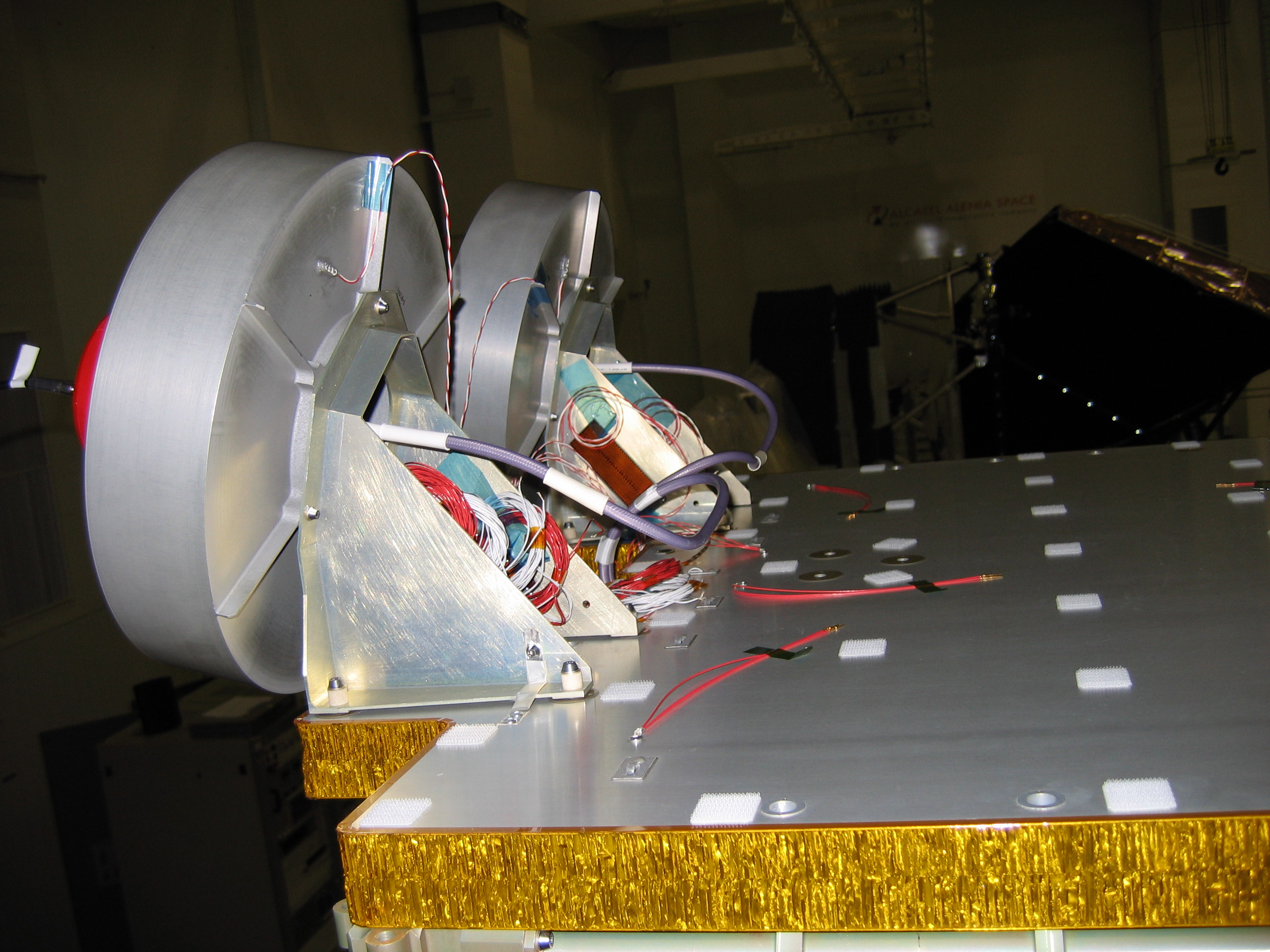
OSTM/Jason-2 GPSP
Published:
September 13, 2010
OSTM/Jason-2 GPSP
ENLARGE
Related
Mike Davis in front of the faring
Mike Davis in front of the faring
Launch preparations are progressing! (11/21/01) Photos: Stacy Mitchell of John Hopkins APL/TIMED project
Launch preparations are progressing! (11/21/01) Photos: Stacy Mitchell of John Hopkins APL/TIMED project
Jason-1: JMR instrument
Jason-1: JMR instrument
The SpaceX Falcon 9 rocket carrying the Sentinel-6 Michael Freilich spacecraft lifts off from Space Launch Complex 4 at Vandenberg Air Force Base in California, Nov. 21, 2020, at 9:17 a.m. PST
Sentinel-6 Launch
OSTM/Jason-2 DORIS
OSTM/Jason-2 DORIS
Bringing Satellite Data Down to Earth
Bringing Satellite Data Down to Earth
The Antonov cargo aircraft carrying the Sentinel-6 Michael Freilich satellite touches down on the runway at Vandenberg Air Force Base in California on Sept. 24, 2020.
Sentinel-6 Spacecraft Arrival/Offload
OSTM/Jason-2 Artist's Concept
OSTM/Jason-2 Artist's Concept
Launch preparations are progressing! (11/21/01) Photos: Stacy Mitchell of John Hopkins APL/TIMED project
Launch preparations are progressing! (11/21/01) Photos: Stacy Mitchell of John Hopkins APL/TIMED project
TOPEX/Poseidon LRA
TOPEX/Poseidon LRA
Jason-1 Artists Concept
Jason-1 Artists Concept
SpaceX Falcon 9 rocket with the Sentinel-6 Michael Freilich satellite is lifted to vertical at Space Launch Complex 4
Sentinel-6 on pad at SLC-4, VAFB
TOPEX/Poseidon Collecting Data
TOPEX/Poseidon Collecting Data
OSTM/Jason-2 Artist's Concept
OSTM/Jason-2 Artist's Concept
Altimeter Applications - JPL Open House '99
Altimeter Applications - JPL Open House '99
OSTM/Jason-2 Radiometer Antenna
OSTM/Jason-2 Radiometer Antenna
The SpaceX Falcon 9 rocket, topped with the Sentinel-6 Michael Freilich satellite secured inside its payload fairing, is rolled to Space Launch Complex 4
Sentinel-6 Rollout at SLC-4, VAFB
t - 10 minutes
t - 10 minutes
Jason-3
Jason-3
Jason-1 on top of the DPAF
Jason-1 on top of the DPAF
OSTM/Jason-2 Line Drawing
OSTM/Jason-2 Line Drawing
Jason-3 Ready for Launch
Jason-3 Ready for Launch
Radiometer Installation Team - April 2007
Radiometer Installation Team - April 2007
Inside half of the Delta Clam shell faring
Inside half of the Delta Clam shell faring
Jason-3 Launch
Jason-3 Launch