NASA
Jet Propulsion Laboratory
California Institute of Technology
Skip Navigation
Ocean Surface Topography from Space
Stay Connected
menu
close modal
Resources
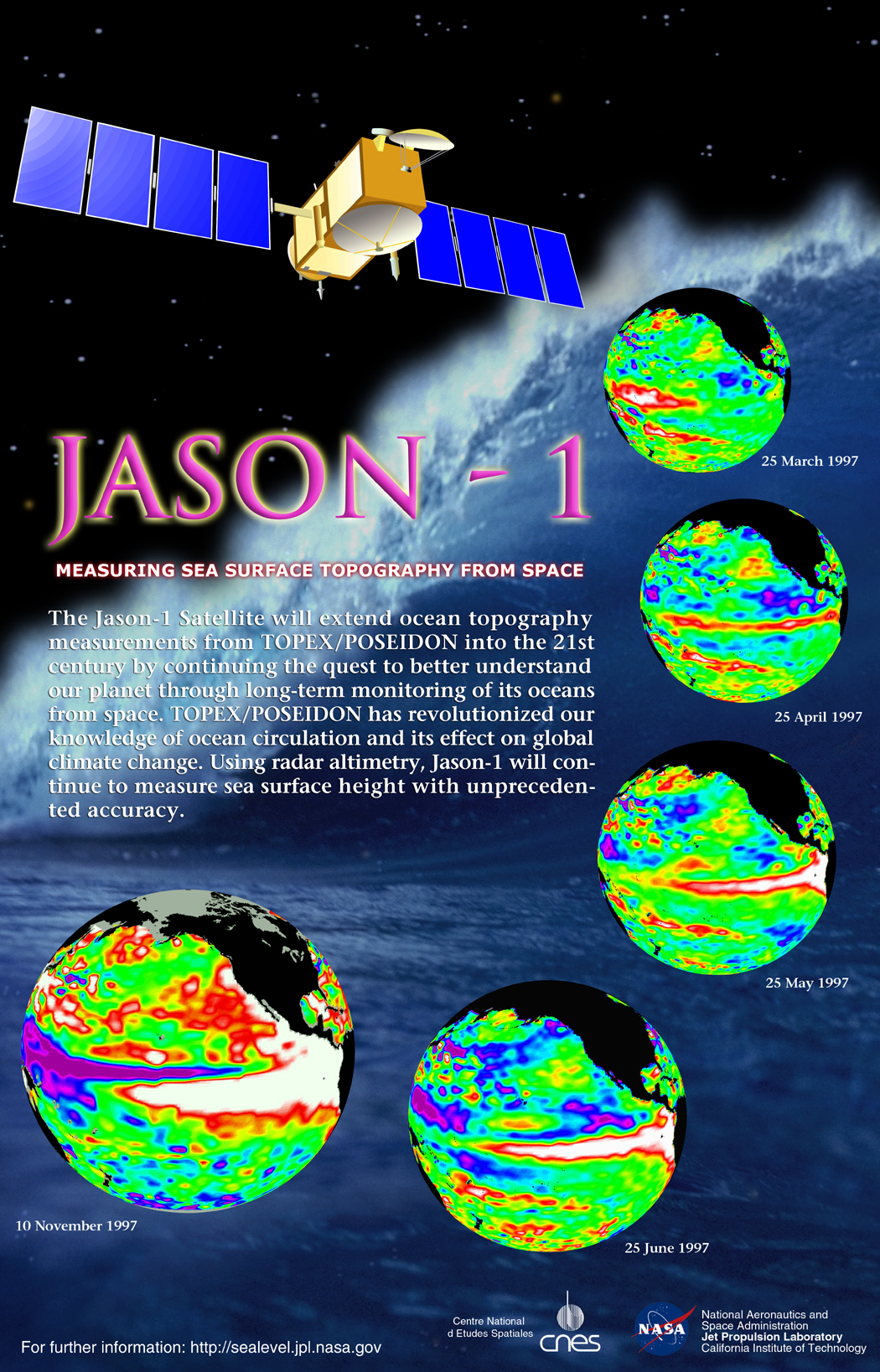
Jason-1 Poster
Published:
September 13, 2010
Jason-1 Poster
ENLARGE
Related
Recorded live launch broadcast of Sentinel-6 Michael Freilich
Watch the Launch of the Ocean-Observing Sentinel-6 Michael Freilich Satellite
A key ocean observation satellite has been named after Earth scientist Michael Freilich
Ocean Satellite Renamed for Noted Scientist
Headed for Orbit!
Headed for Orbit!
Jason-1 Measurement System
Jason-1 Measurement System
Inside half of the Delta Clam shell faring
Inside half of the Delta Clam shell faring
The SpaceX Falcon 9 rocket carrying the Sentinel-6 Michael Freilich spacecraft lifts off from Space Launch Complex 4 at Vandenberg Air Force Base in California, Nov. 21, 2020, at 9:17 a.m. PST
Sentinel-6 Launch
NASA and its U.S. and international partners have teamed up to launch a new Earth-observing satellite called Sentinel-6B that will measure sea surface height of most of the planet’s ocean. These ob...
Sentinel-6B: Extending the Legacy
These photos were taken during the Payload Attach Fitting (PAF) mating operation with Jason-1. (11/14/01) Photos: Scott Michel
These photos were taken during the Payload Attach Fitting (PAF) mating operation with Jason-1. (11/14/01) Photos: Scott Michel
Sea Level
Sea Level
TOPEX/Poseidon Ground Tracks
TOPEX/Poseidon Ground Tracks
Jason-1 Line Drawing
Jason-1 Line Drawing
El Niño Poster
El Niño Poster
Jason-1 launch images
Jason-1 launch images
Jason-1 Pin
Jason-1 Pin
Jason-1 and TOPEX/Poseidon Bookmark
Jason-1 and TOPEX/Poseidon Bookmark
Ariane 42P launch vehicle
Ariane 42P launch vehicle
Sentinel-6 Michael Freilich spacecraft logo
Sentinel-6 Michael Freilich logo
TOPEX/Poseidon Artist's Concept
TOPEX/Poseidon Artist's Concept
Oceans' Role in Climate - Applications
Oceans' Role in Climate - Applications
t - 12 minutes
t - 12 minutes
Jason-3
Jason-3
This is an artist's concept of the Sentinel-6 Michael Freilich spacecraft.
Artist's concept of Sentinel-6 Michael Freilich
Jason-1 on top of the DPAF
Jason-1 on top of the DPAF
Jason-1 launch images
Jason-1 launch images
El Niño/La Niña
El Niño/La Niña