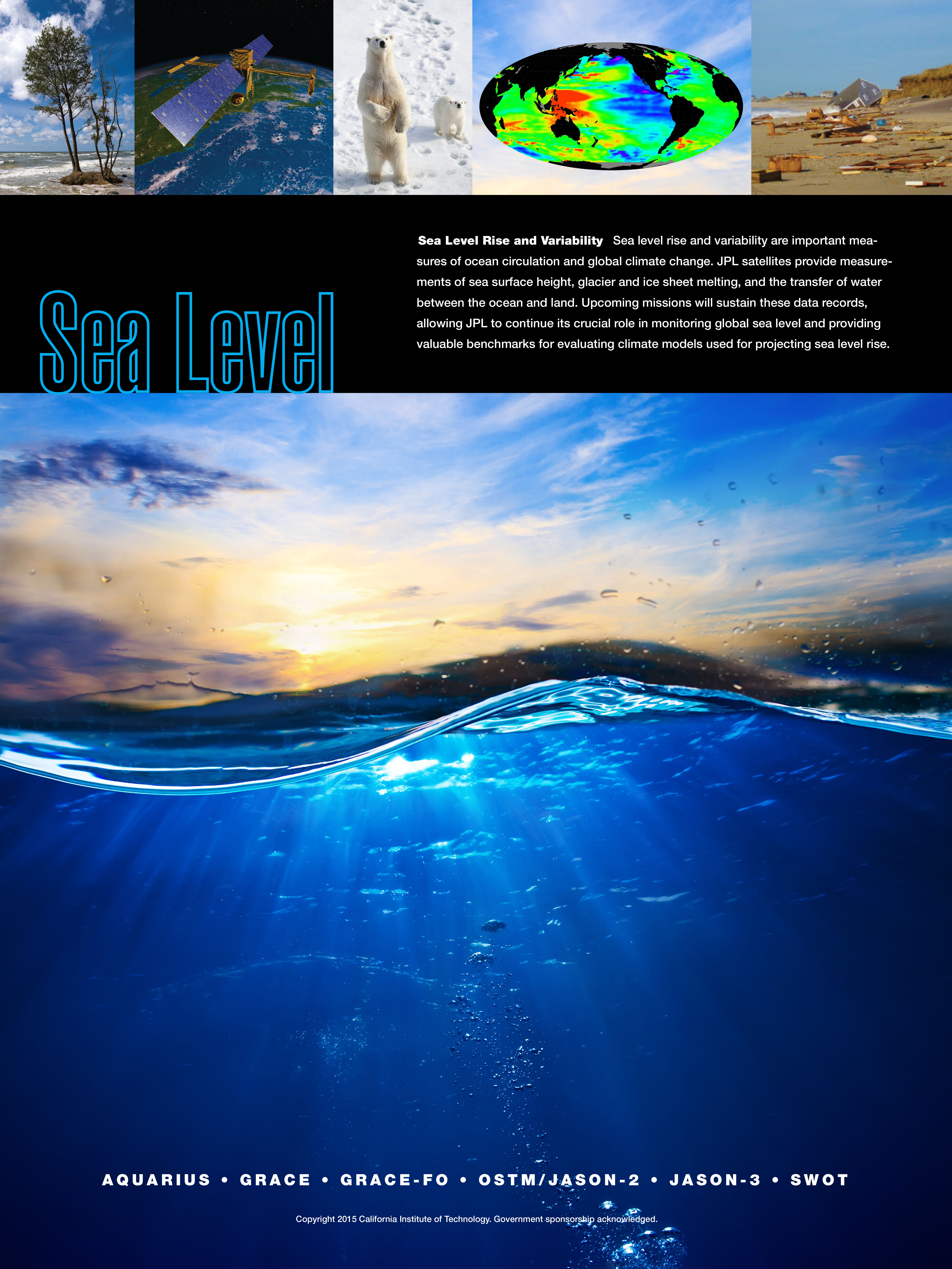
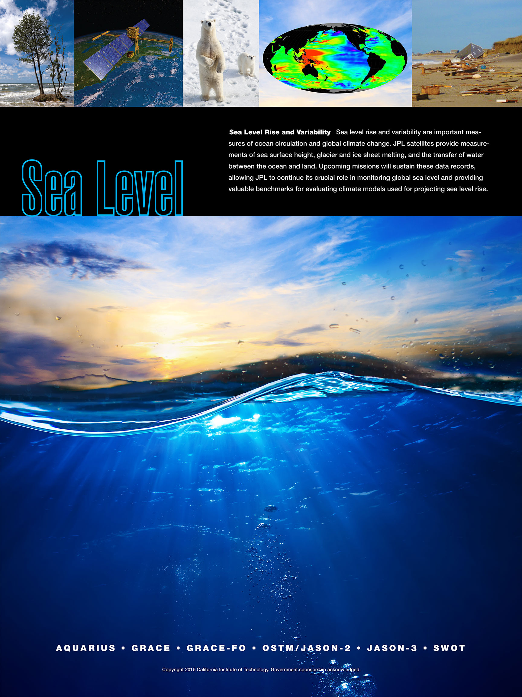
NASA
Jet Propulsion Laboratory California Institute of Technology
Skip Navigation
Ocean Surface Topography from Space
Stay Connected
menu close modal

Resources

Sea Level

Sea Level
Published: April 14, 2015
This poster is part of a series highlighting JPL Earth Science satellite missions and their research objectives.

Download Options:

  • High Resolution JPEG (3.4MB)
  • Medium Resolution JPEG (877 KB)
  • Browse JPEG (226 KB)

ENLARGE

Downloads

Sea Level
856 KB
image/jpeg
Download

More Like This

  • Graphics

Related

Jason-1 Measurement System
More
Jason-1 Measurement System
La Niña Series
More
La Niña Series
La Niña Series
TOPEX/Poseidon Poster (no text)
More
TOPEX/Poseidon Poster (no text)
El Niño Series
More
El Niño Series
El Niño Series
Water & Energy
More
Water and Energy
Water & Energy
CNES logo
More
CNES logo
CNES logo
TOPEX/Poseidon JPL Open House '99 Display
More
TOPEX/Poseidon JPL Open House '99 Display
Measuring El Niño & La Niña - JPL Open House '99 Display
More
Measuring El Niño & La Niña - JPL Open House '99 Display
Jason-1 Poster
More
Jason-1 Poster
Jason-1 Poster
Oceans' Role in Climate - Applications
More
Oceans' Role in Climate - Applications
Oceans' Role in Climate - Jason-1
More
Oceans' Role in Climate - Jason-1
Mapping Global Ocean Circulation
More
Mapping Global Ocean Circulation
Bringing Satellite Data Down to Earth
More
Bringing Satellite Data Down to Earth
CNES Jason Logo
More
CNES Jason Logo
CNES Jason Logo
Jason-1 Pin
More
Jason-1 Pin
Jason-1 Pin
Jason-1 and TOPEX/Poseidon Bookmark
More
Jason-1 and TOPEX/Poseidon Bookmark
OSTM/Jason-2 insignia for launch vehicle
More
OSTM/Jason-2 insignia for launch vehicle
Sentinel-6 Michael Freilich fairing logo
More
Sentinel-6 Michael Freilich fairing logo
Earth Science
More
Earth Science
Earth Science
Sentinel-6 Michael Freilich spacecraft logo
More
Sentinel-6 Michael Freilich spacecraft logo
Sentinel-6 Michael Freilich logo
TOPEX/Poseidon Measurement System
More
TOPEX/Poseidon Measurement System
Launched on January 17, 2016, Jason-3 is a partnership that includes NOAA, NASA, CNES, and EUMETSAT.  The map shown here was generated using sea surface height measurements from the first 10 days (...
More
Jason-3 Begins Mapping the Ocean
Jason-1 JPL Open House '99 Display
More
Jason-1 JPL Open House '99 Display
TOPEX/Poseidon Sticker
More
TOPEX/Poseidon Sticker
Altimeter Mission Series
More
Altimeter Mission Series
more resources

Get the Newsletter

Follow JPL

Home

Ocean Observation

    • Why Study the Ocean?
    • Understanding Climate
    • Ocean Surface Topography

Science

    • Goals & Objectives
    • Publications
    • Scientific Investigations
    • Science Team Meetings

Applications

    • Overview
    • Water Cycle
    • Operational
    • Coastal
    • Biological
    • Climate
    • Hazards

Data

    • Get Data
    • Along-Track Near Real-Time Data
    • El Niño/La Niña Watch & PDO
    • Vital Signs

Missions

    • Overview
    • Technology
    • Jason-CS (Sentinel 6)
    • Jason-3
    • OSTM/Jason-2
    • Jason-1
    • TOPEX/Poseidon

News

Resources

  • NASA
  • |
  • CALTECH
  • |
  • Privacy
  • |
  • Image Policy
  • |
  • Feedback
  • |
  • Accessibility

Site Manager: Kalina Velev