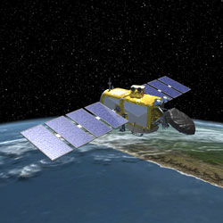
June 20th, 2012 marks 4 years since the start of the Ocean Surface Topography Mission on the Jason-2 satellite (Jason-2). Launched in the early morning hours from Space Launch Complex-2 at Vandenberg Air Force, California, this important radar altimetry satellite has orbited Earth more than 18,000 times during its lifetime, contributing to a 20-year record of global sea surface height measurements. Although the trend has been a steady 3.2 mm per year rise in sea level as measured by Jason-2 and its predecessors, last year the satellite's measurements indicated a 5 mm (0.2 inch) dip in sea level. This temporary dip was easily explained. Measurements of global water transport from NASA's Grace mission showed that about a trillion tons of water that would have normally fallen on the ocean, was instead deposited on land, mostly in Australia, resulting in severe flooding in that country.
As Jason-2 continues to keep watch over our changing global ocean, we congratulate the mission operations teams at NOAA, Eumetsat, NASA, and CNES on another year of success, with hopes for many more.