News | July 16, 1998
Satellite image shows Pacific stablizing
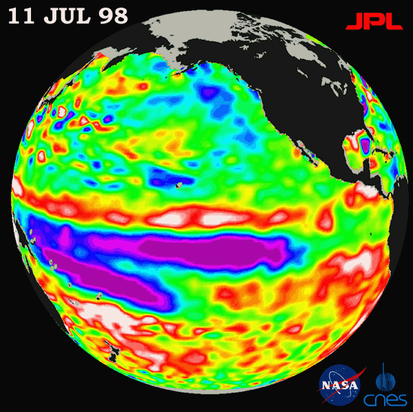
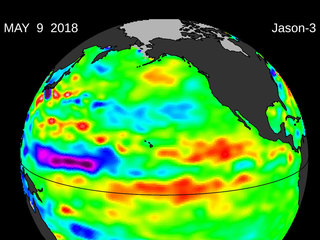
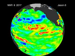
This image of the Pacific Ocean was produced using sea-surface height measurements taken by the U.S.-French TOPEX/Poseidon satellite. The image shows sea surface height relative to normal ocean conditions on July 11, 1998; sea surface height is an indicator of the heat content of the ocean. The purple area in the center of the image is a pulse of cold water moving across the equator which the satellite measures as a region of lower than normal sea level. This image shows that the rapid cooling of the central tropical Pacific has stabilized and this area of low sea level has stayed in about the same place since mid-June. The purple areas are about 18 centimeters (7 inches) below normal, creating a deficit in the heat supply to the surface waters. It is not certain yet, if this current cooling trend (shown in purple) will eventually evolve into a long-lasting La Niña situation. Remnants of the El Niño warm water pool, shown here in red and white, are still lingering to the north and south of the equator in the center of this image. The effects of El Niño can remain in the climate system for a long time and could still impact weather conditions around the world. The satellite's sea-surface height measurements have provided scientists with a detailed view of the 1997-98 El Niño because the TOPEX/Poseidon satellite measures the changing sea-surface height with unprecedented precision. In this image, the white areas show the sea surface is between 14 and 32 centimeters (6 to 13 inches) above normal; in the red areas, it's about 10 centimeters (4 inches) above normal. The green areas indicate normal conditions. The purple areas are 14 to 18 centimeters (6 to 7 inches) below normal and the blue areas are 5 to 13 centimeters (2 to 5 inches) below normal. The El Niño phenomenon is thought to be triggered when the steady westward blowing trade winds weaken and even reverse direction. This change in the winds allows a large mass of warm water (the red and white area) that is normally located near Australia to move eastward along the equator until it reaches the coast of South America. The displacement of so much warm water affects evaporation, where rain clouds form and, consequently, alters the typical atmospheric jet stream patterns around the world. A La Niña situation is essentially the opposite of an El Niño condition, where the trade winds are stronger than normal and the cold water that normally exists along the coast of South America extends to the central equatorial Pacific. A La Niña situation also changes global weather patterns, and is associated with less moisture in the air resulting in less rain along the coasts of North and South America. TOPEX/Poseidon will be able to track a potentially developing La Niña with the same accuracy.
For more information, please visit the TOPEX/Poseidon project web page at http://topex-www.jpl.nasa.gov/


