TOPEX/Poseidon
Launched in 1992, TOPEX/Poseidon was a joint venture between CNES and NASA that measured ocean surface topography to an accuracy of 4.2 cm, enabled scientists to forecast the 1997-1998 El Niño, and improved understanding of ocean circulation and its effect of global climate. While a 3-year prime mission was planned, with a 5-year store of expendables, TOPEX/Poseidon delivered an astonishing 13+ years of data from orbit. The mission ended in January 2006. In those 13 years, it:
- Measured sea levels with unprecedented accuracy to better than 5 cm
- Continuously observed global ocean topography
- Monitored effects of currents on global climate change and produced the first global views of seasonal changes of currents
- Monitored large-scale ocean features like Rossby and Kelvin waves and studied such phenomena as El Niño, La Niña, and the Pacific Decadal Oscillation
- Mapped basin-wide current variations and provided global data to validate models of ocean circulation
- Mapped year-to-year changes in heat stored in the upper ocean
- Produced the most accurate global maps of tides ever
- Improved our knowledge of Earth's gravity field
Mission Highlights
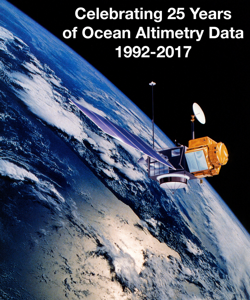
- Celebrating 25 years of ocean altimetry data, 1992-2017, August 10, 1992
- The End of An Era - The venerable TOPEX/Poseidon takes its last bow
- TOPEX/Poseidon Begins its 14th Year! - This tenacious craft has reached the 10th anniversary of the end of its primary mission!
- TOPEX/Poseidon 12 Years of Service - August 10, 2004: Originally designed for three to five years, the TOPEX/Poseidon spacecraft was still providing valuable ocean altimetry data 12 years later!