Madison: Multi-Mission Altimetry-derived DIScharge chrONics at SENTINEL-3 VSs
Author:
Adrien Paris - (LEGOS)
Co-Investigator(s):
Calmant, Stéphane (UMR 5566 – IRD/LEGOS)
Blumstein, Denis (LEGOS)
Montazem, Amanda (LEGOS)
Nino, Fernando (UMR 5566 – IRD/LEGOS)
Papa, Fabrice (UMR 5566 – IRD/LEGOS)
Frappart, Frédéric (UMR 5563 – GET)
Gosset, Marielle (UMR 5563 – IRD/GET)
Bonnet, Marie-Paule (UMR 5563 – IRD/GET)
Garambois, Pierre-André (ICUBE)
Seyler, Frédérique (UMR Espace-DEV, IRD)
Andriambeloson, Johary (IOGA Madagascar)
Paiva, Rodrigo (IPH/UFRGS)
Collischonn, Walter (IPH/UFRGS)
Rebolledo, R (CPDI, IC Caracas)
Islam, Saiful (BUET Bangladesh)
Léon, Juan Gabriel (Univ. Colombia)
Santos da Silva, Joecila (CESTU, UEA)
Medeiros Moreira, Daniel (CPRM Rio de Janeiro)
Vila, Daniel (INPE)
Abstract:
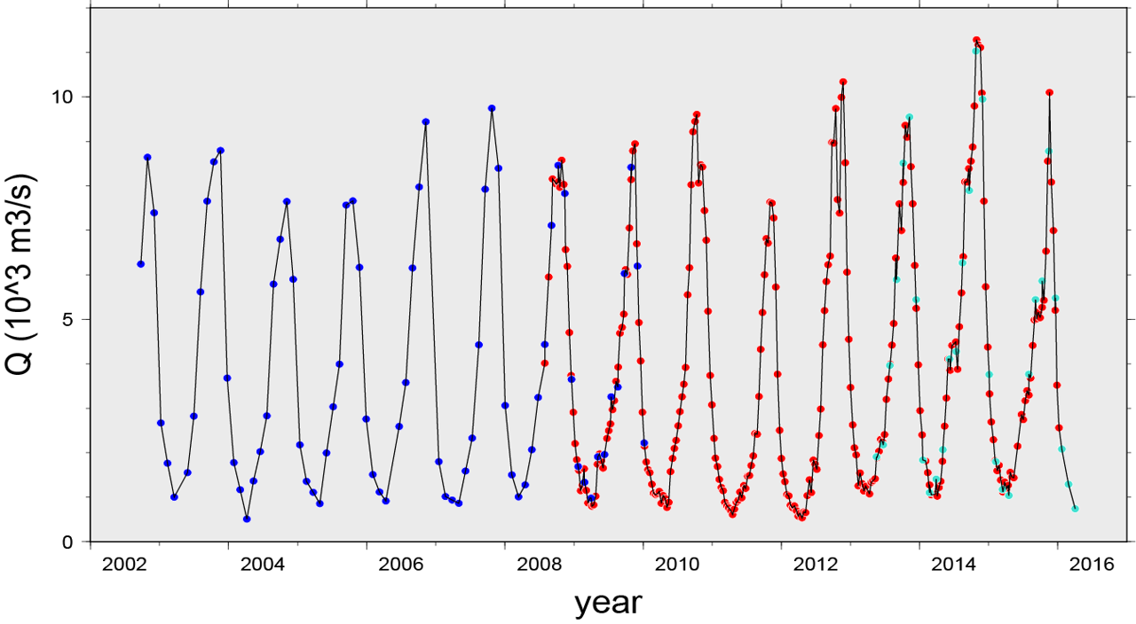
The present proposal aims at computing long time series of discharge and associated uncertainties based on satellite altimetry measurements in a short list of tropical hydrological basins. We will pay particular attention to the analysis of the errors and uncertainties associated to these discharge values, propagating carefully the uncertainties from the altimetric measurements to the final discharge values. The latter point is a major added-value that we propose to add to our discharge product. Discharge in the large basins is an important indicator of climate changes, though little documented. For example, only a few modern values are available in the second largest basin of the world, the Congo basin. And when it is documented, as for example in the Amazon basin, it appears that the discharge series may be not fully reliable, as shown by Paris et al. (2016). Besides still uncertain, methodologies converting water levels from altimetry to discharges are becoming more and more popular. Tarpanelli et al. (2013) proposed the use of a rating curve model that requires upstream hydrometric data and a survey of the cross section to estimate discharge from water levels. Thought assimilation schemes, Paiva et al. (2013) and Michailovsky and Bauer-Gottwein (2014) have been using satellite altimetry to improve model discharges estimates. Inverse methods have been proposed by Durand et al. (2014) and Garambois and Monnier (2015) to retrieve discharge from remotely sensed observations of water surface elevation, width, and slope. Birkinshaw et al. (2014) used channel widths and stages to estimate discharge at ungauged sites of the Mekong River. Gleason et al. (2015) used the conservation of hydraulic proprieties along the stream (AMHG) to estimate discharge at ungauged sites. Léon et al. (2006), Getirana et al. (2013) and Paris et al. (2016) proposed a method based on the use of a hydrological model and rating curves taken from Manning’s equation to estimate discharges at several VSs in the Amazon basin. Recently, Paiva et al. (2015) and Tourian et al. (2016) proposed methods to eliminate the limitations of satellite altimetry data, through spatiotemporal densification of the water level time series, with contrasted results. Satellite altimetry series are characterized by a dense spatial sampling and a poor temporal sampling. The guiding idea is then to transfer the dense spatial sampling into a better temporal sampling at a limited number of sites. We propose to select the locations of the SENTINEL-3A VSs (VS=crossing between the satellite ground track and the drainage network) as the places where composite series are calculated from archive (since mid 90's, then ~20year long chronics) At the end of the project, partnership with agencies distributing altimetry and/or discharge products such as Theia (France), hidrosat/ANA (Brazil), GRDC and Copernicus (international), etc ... will be approached for free distribution of these discharge products.