Gavdos/Crete Permanent Altimeter Calibration Facilities: 'Fiducial Reference Measurements for absolute and relative calibration of satellite altimetry'
Author:
Stelios P. Mertikas - (Technical University of Crete, School of Mineral Resources Engineering, Geodesy & Geomatics Engineering Laboratory)
Co-Investigator(s):
D. Galanakis (Space Geomatica P.C., Greece)
Asst. Prof. P. Partsinevelos (Technical University of Crete, Greece)
Prof. Ilias N. Tziavos (Aristotle University of Thessaloniki, Greece)
Abstract:
To establish a continuous, homogenous and reliable monitoring of the ocean and its changes, altimetry observations have to be free of errors and biases, uninterrupted, but also tied from one mission to the next in an objective and absolute sense. Altimetry system’s responses have to be, thus, continuously monitored and controlled for their quality, biases, errors, drifts, although relations among different missions have to be established on a common and reliable earth‐center reference system, maintained over a long period of time.
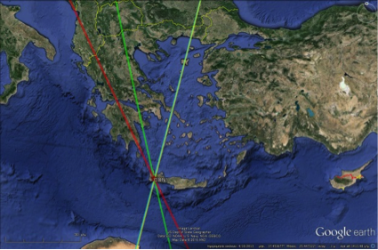
This research task aims at continuing that long‐term service for calibration of existing and future satellite altimeters using the Permanent Altimeter Calibration Facility in Gavdos and Crete, Greece. These Cal/Val facilities have been established in 2001 and have been seamlessly operating and providing absolute reference results for all world satellite altimeters. The location of the Gavdos and Crete Island, in the center of East Mediterranean, constitutes a strategic location for the calibration of satellite altimeters on a world level, and also for monitoring absolute sea level and climate change on a continuous and long‐term basis.

Calibration in Gavdos and Crete will be carried out using two independent techniques: on land with a microwave transponder at its permanent Cal/Val site on the mountains in West Crete, and at sea with its permanent infrastructure at various Cal/Val locations on both islands of Gavdos and Crete. These calibration facilities will provide reference measurements to attain Système international d'unités (SI) traceability for the calibration values, along with their uncertainty budget for the produced Cal/Val results for all altimeter satellites.
This Cal/Val infrastructure will provide fiducial reference measurements for the absolute calibration for the ascending and descending orbits of baseline missions, such as those of Jason satellites (i.e., Jason‐2, Jason‐3, Sentinel‐6/Jason‐CS, etc.), ESA missions (CryoSat-2, Sentinel‐3, etc.), as well as for the relative calibration against other altimetric missions (e.g., the Chinese HY‐2). It will also make preparations for the future altimetric missions, such as that of SWOT and the Japanese COMPIRA, operating in different measuring modes and frequencies. Finally, satellite radiometric measurements will be monitored at this infrastructure against atmospheric path delays determined by a regional, continuously operating network of 13 permanent GNSS sites as well as by a radiometer.
This fiducial reference site in Gavdos/Crete for satellite altimeters will consistently and reliably determine (a) absolute altimeter biases and their drifts; (b) relative bias among diverse missions; but also (c) continuously and independently connect different missions, on a common and reliable reference. Results from this fiducial reference site should be based on historic Cal/Val site records, and would be the yardstick for building up capacity for monitoring the climate change records.