GPD Wet Tropospheric Corrections for Present and Future Altimeter Missions (GPD- PFAM)
Author:
Joana Fernandes - (Faculdade de Ciências,Universidade do Porto, Departamento de Geociências Ambiente e Ordenamento do Território)
Co-Investigator(s):
Clara Lázaro ( - Universidade do Porto, Faculdade de Ciências (UPorto)
- Centro Interdisciplinar de Investigação Marinha e Ambiental (CIIMAR))
Abstract:
The wet tropospheric correction (WTC) that corrects the range measured by the altimeter for the path delay due to the presence of water vapour in the atmosphere is still one of the major error sources in satellite altimetry. With an absolute value less than 50 cm, it is highly variable both in space and time. Due to this high variability, the most accurate way to model this effect is through the collocated measurements of microwave radiometers (MWR) deployed aboard the altimetric missions. Two-band radiometers have been used in ERS-1, ERS-2, Envisat, Geosat Follow-On (GFO), SARAL/AltiKa and Sentinel-3 and three band radiometers in TOPEX/Poseidon, Jason-1, Jason-2 and Jason-3. CryoSat‑2 (CS2) does not carry an on-board radiometer, relying on model corrections such as the one provided by the European Centre for Medium-range Weather Forecasts (ECMWF).
Although the MWR-derived is the most accurate WTC over open-ocean, land, ice and rain contamination and instrument malfunction are factors that prevent the direct use of these observations in certain measurement conditions, mainly in the coastal zones and high latitudes. This called for the development of methods to improve the MWR-derived WTC in these regions and for alternative solutions for missions such as CryoSat-2.
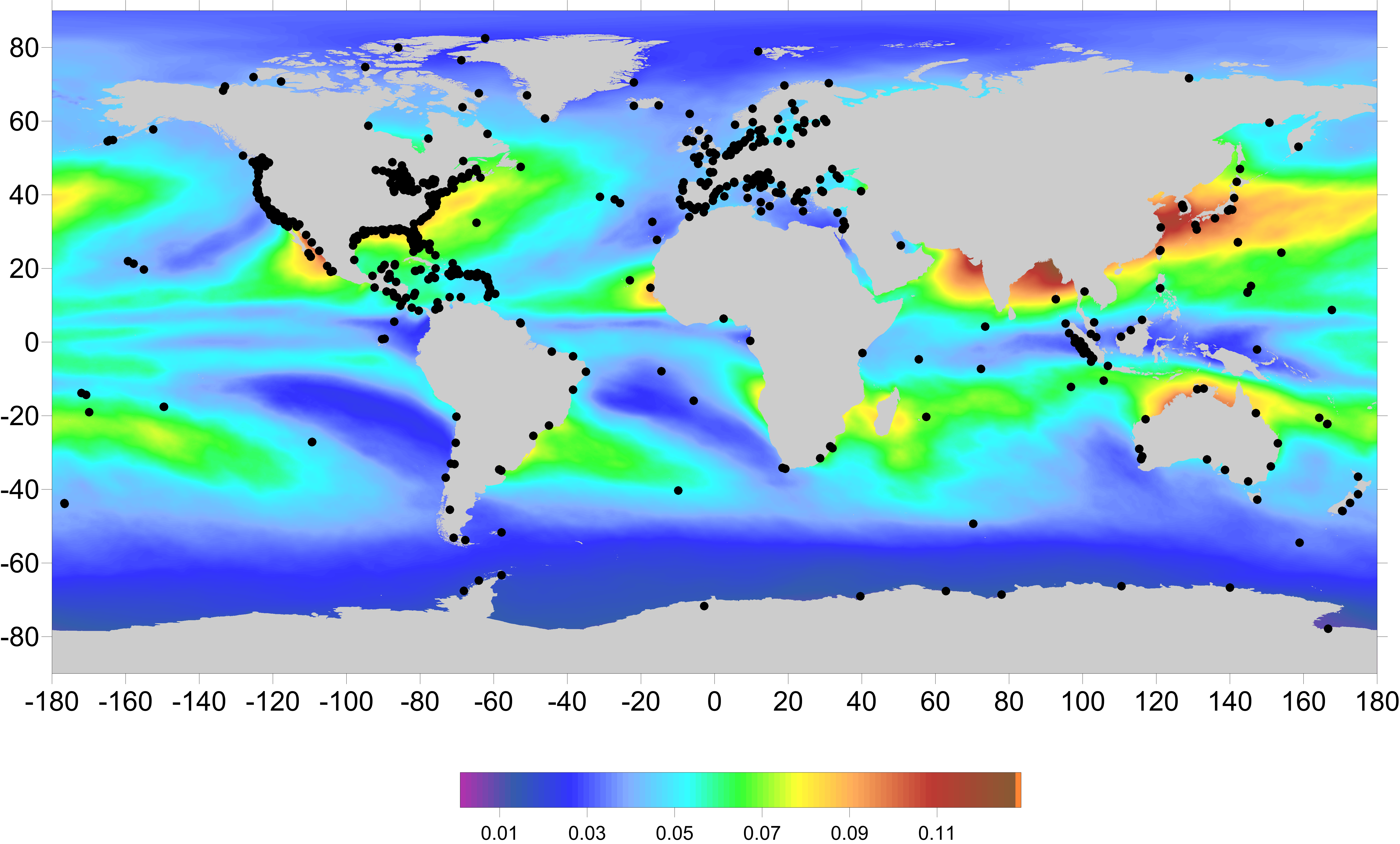
This study focuses on the determination of the WTC for present and future satellite altimeters, using the GNSS-derived path delay Plus (GPD+) algorithm develop at the University of Porto (UPorto). The GPD+ are WTC estimated by space-time objective analysis (OA), by combining all available observations in the vicinity of the point for each an estimate is necessary: valid measurements from the on-board MWR and third party data from GNSS coastal and island stations and from scanning imaging MWR (SI-MWR) on board various remote sensing missions. The GPD+ corrections are available both for missions which do not possess an on-board MWR, such as CS-2, and for all missions which carry this sensor, by addressing the various error sources inherent to the MWR-derived WTC. To ensure long-term stability of the corrections, the large set of radiometers used in the GPD+ estimations have been calibrated with respect to the Special Sensor Microwave Imager (SSM/I) and the SSM/I Sounder (SSM/IS), due to their well-known stability and independent calibration. As first guess in the OA estimations and adopted values in the absence of observations, WTC values from the ECMWF operational model are used. For past missions with data prior to 2004, the ERA Interim model is adopted instead.
In the scope of this proposal, GPD+ WTC shall be computed for Jason-3 and Sentinel-3, in addition to the other current missions (Jason-2, CryoSat-2 and SARAL/AltiKa). In this way, all satellite altimeter missions relevant for the study of the ocean surface topography will have a consistent and inter-calibrated set of wet tropospheric corrections.
By using the baseline MWR WTC for each mission, and those WTC from all available observations (SI-MWR and GNSS data) and the ECMWF operational model , the WTC for Jason-3 and Sentinel-3 shall be estimated, for all along-track measurements. The final outcome of this study shall be a set of files containing the WTC for each satellite, global products at 1 Hz sampling.
Moreover, the understanding and the quantification of the space-time variability of the WTC and its response to climate phenomena are also envisaged. These analyses shall be based on the global, consistent and inter-calibrated set of wet tropospheric corrections computed for all altimeter missions from 1992 onwards.